
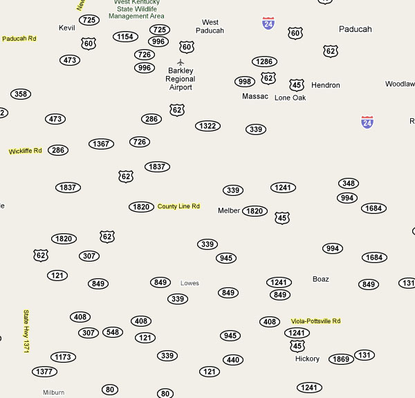
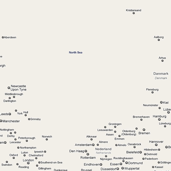
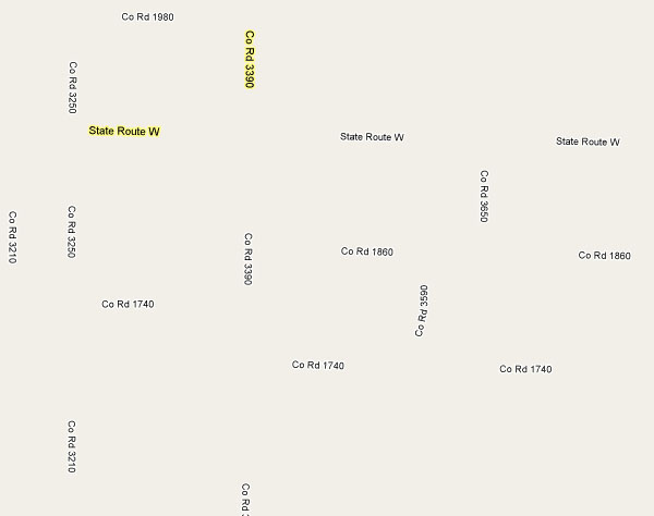
Unfortunately, I cannot seem to find much more information about this piece, except maybe of its name [xn--slarsteinn-gbb.com]. The website features a fully functional Google Maps like view of the world, although the map is reduced to include only place names and does not feature any geographical feature.
Strangely, even this text-only view provides for sufficiently rich visual clues to interpret most of the unique characteristics in our environment.
Thnkx Martin!
 Time and Date follows Time Zone (Brussels)
I found this in the source code:
Seasoned explorers, vehemently insisting on what they had seen,
set down mountains and islands on their charts where there was
nothing but empty sky ... Expeditions sent out later to verify
these new lands sometimes saw the same fata morgana, further
confusing the issue. Only by prolonging their arduous journeys,
thereby observing a constant recreding of the image, did they
prove that the land was not there at all.
Some time ago I builded something similiar.. perhaps the difference is that in my case I left all the (zoom) layers visible: http://bestiario.org/research/geo/saturation
Thnkx Miguel! Good find.
Cool project Santiago!
Created by Damon Zucconi using Google Maps API v3 styled maps.
http://code.google.com/apis/maps/documentation/javascript/maptypes.html#StyledMaps
The unescaped domain is http://sólarsteinn.com/
More from the artist: http://damonzucconi.com/
Any explanation as to why he erased Israel and Palestine from the map?
I didn't look at other parts of the world. Maybe he did it to other places too.
Reminds me of this London Kerning poster
http://www.nbstudio.co.uk/londonskerning/index.html
So is it a special render on the geodata (that are from?) or just a style-tweak for GMaps?
Oh praise the lord, there is www.openstreetmap.org so we will never get lost on this ghost map ;)
I builded something similiar.So is it a special render on the geodata..