
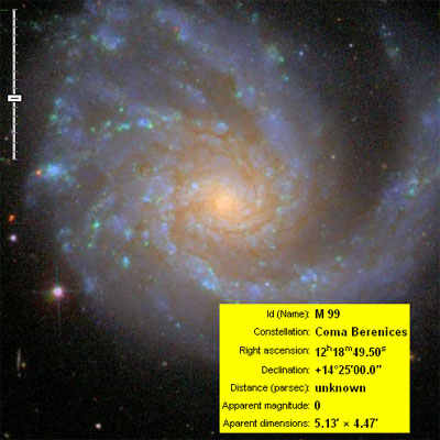
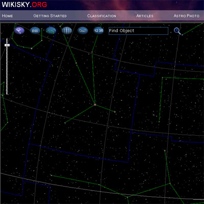
a detailed online sky map, showing the positions & basic characteristics of space objects using a Google Maps like interface. the Wikisky application allows users to zoom in or out on stars or star constellations, switch to real high resolution sky images, & retrieve detailed astronomical data collected from Sloan Digital Sky Survey (SDSS) data, depending on their location & timezone.
[link: ]
 Time and Date follows Time Zone (Brussels)
I've been waiting for this kind of interface for a long time.
When I read that Google was helping NASA manage many terabytes of data coming from one of their telescopes, I assumed Google would be making this exact type of service public, soon ... after all, they'd be taking NASA imagery, and making it more accesible and useful.
It ain't Google (yay for that) but it's exactly what I've been looking for. I hope this service gets more attention & visitors, and more available datasets (ideally, I'd like to see almost *all* space imagery be made available in this interface ... but, that's later on).
Thanks for pointing this one out!