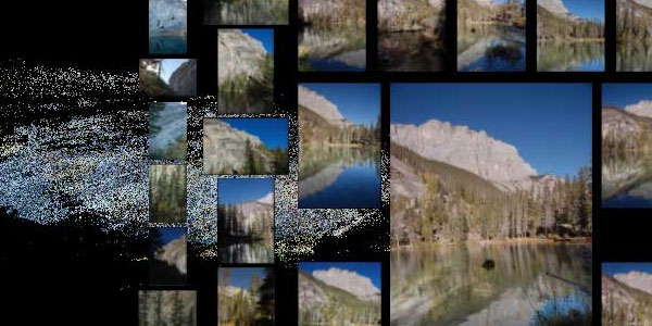
for those who (incredibly?) still have not seen it... a photo visualization tool from Microsoft that allows users to navigate through photos of a common location, such as cities, buildings & surrounding scenes in 3D, built entirely with traditional digital camera 2D photos (originating from photographers that have not even met each other).
in addition, the tool features a very fluid visual navigation & high resolution zooming capabilities.
next to this TED talk, a video interview with Wired Magazine & the Photosynth developer is available after the break.
[link: & (interview) & (demo) & ]
 Time and Date follows Time Zone (Brussels)
amazing, thank you